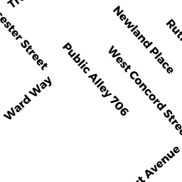
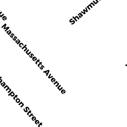
476476A SHAWMUT ST
Owner Information
FOUR 76 SHAWMUT AV CONDO TR
476 476A SHAWMUT ST
BOSTON, MA 02118
Property Details
476476A SHAWMUT ST is classified as a Other, Open Space (Row middle).
The primary structure on this property was built in 1999. There are 5 units within this property.
476476A SHAWMUT ST is valued at $0. The land is valued at $0 and the structures are valued at $0.
The most recent deed for 476476A SHAWMUT ST is recorded at the local registrar in Book 14141, Page 043. 476476A SHAWMUT ST was last sold on Friday, October 9, 1987 for $0.
Assessment data from fiscal year 2020.
Flood Data
According to the FEMA National Flood Hazard Layer, this property does not appear to be in a flood zone. It may also be in an area not yet reviewed. Nonetheless, confirm this information prior to taking any action.
To view the flood hazards around this property, create a FEMA "Firmette" Map of the area around 476476A SHAWMUT ST.
Broadband Internet Providers
| Provider | Type | Bandwidth (mbps) | |
|---|---|---|---|
| Verizon New England Inc. | DSL | 15 | 1 |
| Verizon New England Inc. | Fiber | 940 | 880 |
| Comcast | Cable | 1000 | 35 |
| Starry, Inc. | Fixed Wireless | 200 | 200 |
| netBlazr Inc | Fixed Wireless | 50 | 50 |
| GCI Communication Corp. | Satellite | 0 | 0 |
| HughesNet | Satellite | 25 | 3 |
| Viasat Inc | Satellite | 100 | 3 |
| VSAT Systems, LLC. | Satellite | 2 | 1 |
Broadband service provider data from December 2020.
Adjacent Properties
- 8286 W Concord ST
Other, Open Space owned by SHERMAN SCOTT R TRUSTEE - 84 W Concord ST 1
Residential Condominium owned by GUO MEI - 84 W Concord ST 3
Residential Condominium owned by CANTONE HALEY - 84 W Concord ST 5
Residential Condominium owned by HOLLIS RHONDA - 84 W Concord ST 4
Residential Condominium owned by DAVIDSON MARGARET - 84 W Concord ST 6
Residential Condominium owned by CHIRKOV NATALIA GEORGIEVNA - 84 W Concord ST 2
Residential Condominium owned by LAVALLE KRISTEN - 80 W Concord ST 2
Residential Condominium owned by SHIMBERG TAYLOR - 80 W Concord ST
Other, Open Space owned by EIGHTY WEST CONCORD ST CD TR - 80 W Concord ST 1
Residential Condominium owned by FURMAN SHIRA BETH - 80 W Concord ST 3
Residential Condominium owned by MUELLER PAUL - 80 W Concord ST 4
Residential Condominium owned by MEYER JEFFREY - 80 W Concord ST 5
Residential Condominium owned by MEYER JEFFREY - 478 SHAWMUT AV 1
Residential Condominium owned by MCLEOD HANNAH N - 478 SHAWMUT AV
Other, Open Space owned by ZEBRA CONDO TRUST - 478 SHAWMUT AV 2
Residential Condominium owned by COVIELLO ROBERT - 478 SHAWMUT AV 3
Residential Condominium owned by KUCHAR THOMAS - 478 SHAWMUT AV 6
Residential Condominium owned by PRUSHIK SCOTT G - 478 SHAWMUT AV 9
Residential Condominium owned by DE JONG CLAIRE - 478 SHAWMUT AV 5
Residential Condominium owned by 478 SHAWMUT AVENUE NOMINEE TRUST - 478 SHAWMUT AV 8
Residential Condominium owned by TRINGALE ALESIA A - 478 SHAWMUT AV 4
Residential Condominium owned by U4 SHAWMUR TRUST - 478 SHAWMUT AV 10
Residential Condominium owned by OPPOLD JOSEPH E III TS - 478 SHAWMUT AV 7
Residential Condominium owned by MOSHKEVICH ALEXANDER - 474 SHAWMUT AV 2
Residential Condominium owned by DIBONA LAURA J - 474 SHAWMUT AV
Other, Open Space owned by FOUR 74 SHAWMUT AVENUE - 474 SHAWMUT AV 1
IMPUTED - Commercial owned by ISLAM RABIUL - 474 SHAWMUT AV 4
Residential Condominium owned by TENREIRO FRANCISCO JAVIER - 474 SHAWMUT AV 5
Residential Condominium owned by LINDAHL ALEXANDER - 474 SHAWMUT AV 3
Residential Condominium owned by LYNCH FRANCIS J III